Public transport was not an option for this walk, so I decided to do the circular walk as described in my SBP guidebook (albeit backwards). So I drove to Charlwood, as per my previous section, and again parked outside the Rising Sun pub on The Street.
 |
| Charlwood village sign - photographed from the front this time! |
It was another very dull day with the threat of drizzle constantly in the air. However, the cloud base must have been a little higher than on section 12, because I could see the planes taking off from Gatwick – they were taking off westwards today, every few minutes.
|
| Planes were taking off from Gatwick every few minutes |
Leaving the car, I headed off the main road down a narrow lane, past the Half Moon pub and through the churchyard. Branching left (S) from the main path, the route crossed a number of fields, the first containing sheep so Poppy was on the flexi-lead. There was also a rather unpleasant warning sign, threatening death to any stock-chasing dogs.
 |
| The Half Moon pub and village church Charlwood |
 |
| DOGS WILL BE SHOT! |
Swinging SW, I soon arrived at Russ Hill lane. The map indicated that the footpath ran alongside the road, but in the field. It took me a moment to find the stile in the hedge as the waymarker was actually positioned next to a locked gate.
 |
| Ivy clad stile near Windacre Farm |
 |
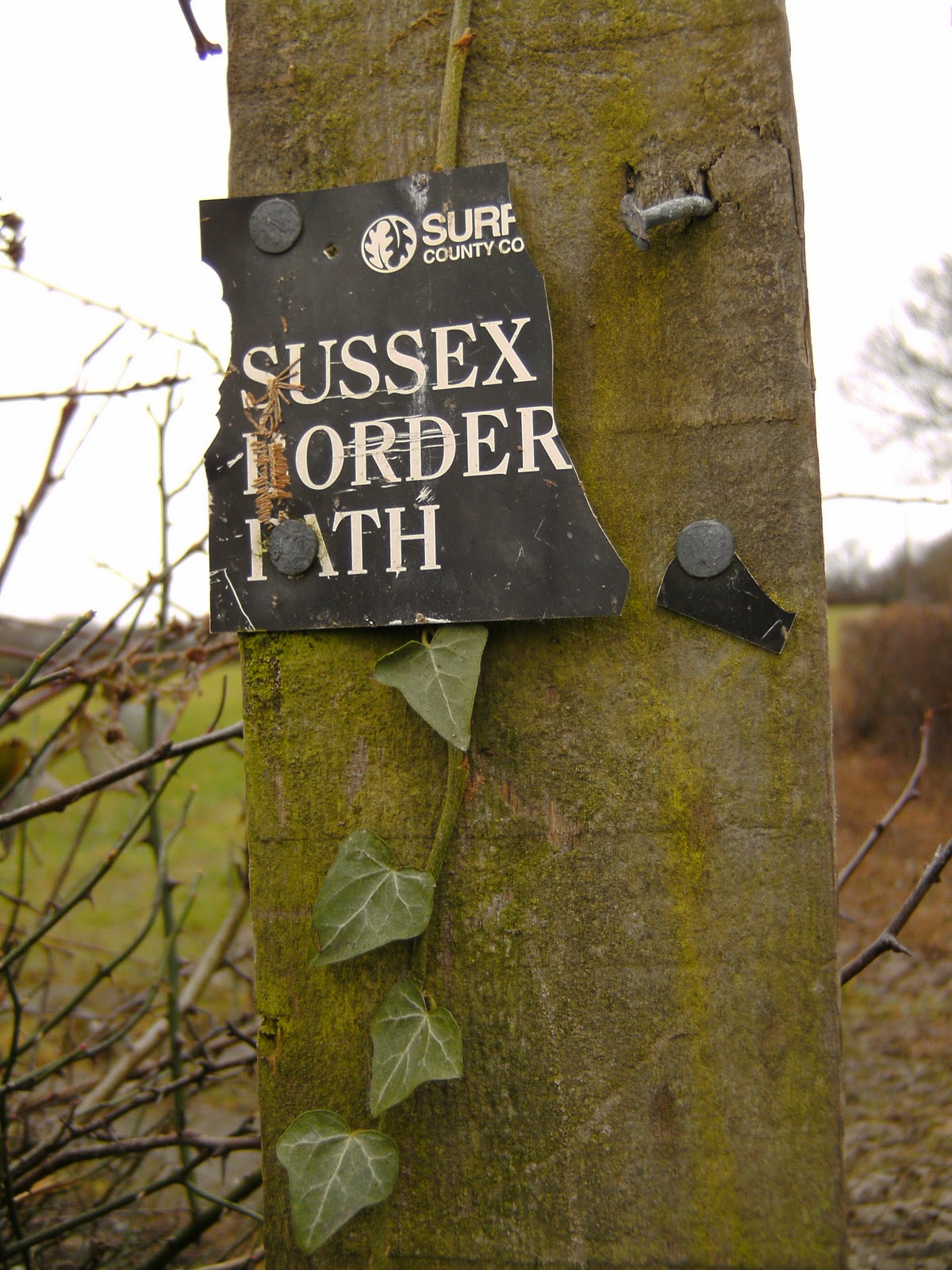
| Tatty waymarker |
After about ¼ mile, the path emerged once more on the lane, by Russ Hill Farm. It was then necessary to walk down the road for a further ¼ mile, before taking to the countryside again. Crossing the fields of Westlands Farm, we passed a small pond and then at Ivyhouse Farm, the route veered left across a large open field to reach Partridge Lane. The map shows the word ‘oak’, and I duly headed towards a large oak tree when deciding on my direction across the trackless field – it seemed to take me in the correct direction, anyway.
 |
| Approaching Russ Hill |
 |
| Pops takes a drink at the pond near Westlands Farm |
Where the lane bent sharp right, I maintained direction and joined a footpath alongside more fields where I again came across signs warning that dogs worrying stock would be shot. I can’t believe the dogs around here pose more of a threat to stock than in other areas, but the farmers certainly appear to be less tolerant. Again, there didn’t appear to be any sheep in the field at this time of year, but I had Poppy on the lead just in case. I didn’t want a dead dog after all!
 |
| Another warning notice |
The path now entered Furzefield Wood. As it was about 11am and my stomach was (as usual) rumbling. I sat on the stile and had a snack and flask of coffee. I had forgotten Poppy’s gravy bones, so had to share my biscuit with her! Whilst sitting there we were joined by two ferocious sounding GSDs, who I thought for one moment were going to jump over the flimsy fence between us, but fortunately they were just checking us out, and quickly ran off back to their home.
 |
| Furzefield Wood |
 |
| Drunk waymarker |
The route swung left (SSE) briefly and continued through Furzefield Wood, heading gently downhill. After dipping down to cross a stream, we emerged from the trees and turned right to climb again between large arable fields. I passed a group of people here, walking the family dogs, and then spotted a large, makeshift tree house adjacent to the path. It was certainly made of all sorts of scrap wood, but I’m sure it made a great den for local teenagers.
 |
| Heading across a large arable field |
 |
| Tree house |
We soon arrived at the village of Rusper, where we turned right on the lane for 200m, passing the church and the Ghyll Manor hotel. Turning left off the road, we skirted a playing field, then descended gently through a large field to reach Horsegills Wood. Descending more steeply we dropped down to cross a stream, then emerged from the wood, to walk alongside it in the adjacent field. Some curious horses surveyed us from a distance, but didn’t approach.
 |
| Ghyll Cottage, Rusper |
 |
| Horsegills Wood |
Our path re-entered the wood briefly, where I passed a woman and her son (the latter was playing in the stream), then climbed through further horse fields to reach Porter’s Farm. I nearly missed the stile crossing between fields here – I only spotted it because I happened to stop to put Poppy on the lead. .At the farm there were some colourful chickens.. Poppy was pretty interested in them, but obediently kept away as I got closer to take a photo.
 |
| A peek at Porter's Farmhouse |
 |
| Colourful chickens |
Crossing a final field, we emerged on Friday Street, with the Royal Oak pub a few hundred meters away to the left. This was the end of our SBP walk today – a very modest 5.7m. The rest of the walk would take us back to Charlwood on different paths.
 |
| The Royal Oak pub |
 |
| The SBP route |
I won’t describe the return route in detail – this is a blog about the Sussex Border Path, after all. However, I will include the highlights (or in some cases, low points), although I don’t have photos of everything mentioned.
 |
| A clever bit of advertising at the end of Friday Street |
- The path round Lyne Farm was muddy and very smelly as they appeared to have been muck spreading. There was also a pretty disgusting pond, and the normal farm detritus scattered about.
 |
| Lyne House - a Victorian mansion house (much more attractive than the nearby farm) |
- The path through Rusper golf course was, in contrast, very pleasant – and I came across a handy bench and table, overlooking a pretty lake, which provided the ideal lunch spot.
 |
| Lake on Rusper Golf Course - a good spot for lunch |
- At Marshlands Cottages I had to remove my rucksack and climb through a barbed wire fence to escape from a couple of very curious and frisky horses. I tried to shoo them away with my map, but that just made them more excited and they were bucking and lashing out at us. It was actually quite frightening – I certainly didn’t fancy getting kicked.
 |
| Once safe from the horses' flailing hooves, Poppy turns her attention to squirrel spotting |
- At Home Farm I came across a footpath closure notice. The closure was due to a fallen tree causing damage to a footbridge further along the path. Had I been on the SBP at that time I would have tried to continue, but as I was not, I decided to take a diversion along the bridleway named Duke’s Drive
 |
| Our diverted route up Duke's Drive |
- Towards the end of the walk there was a very pleasant and well way-marked section through Glover’s Wood Nature Reserve.
 |
| Approaching the end of Glover's Wood Nature Reserve |
Emerging from the Nature Reserve at a hamlet called Pagewood, I was very surprised to see two Harrier jump-jets sitting in a field at the premises of Aerospace Logistics (a leading supplier and stockist of ex-MOD surplus equipment and components, apparently).
 |
| An unexpected sight - Harrier Jump Jets |
I arrived back at the car just before 4pm, a little later than expected, due to the diversion. I then popped in to the Rising Sun pub for a swift drink (and use of the facilities – to be honest my main reason for going in!) before heading off home. The weather was miserable all day, with drizzle on and off throughout, and it was quite breezy. It was reasonably mild though, so I was warm enough whilst walking, although I did get quite cold when I stopped for lunch. I really enjoyed this walk though, despite the fact that there were few extensive views. It was certainly more scenic than my last walk round Gatwick airport.
|
| The Rising Sun - Charlwood |
 |
| The return route |


No comments:
Post a Comment