This last section of the East Sussex SBP had been outstanding for over a year! We haven’t neglected the trail completely as we have walked the mid-Sussex link section in the interim, but it is still about 6 months since we last walked the Sussex Border Path together. It was certainly time to rectify this! It has however, taken me a further 2 months to write this up, so the memory is a little vague....
 |
| The route from Bodiam to Rye |
There seems to be no official end to the walk in Rye, but the route as shown on the OS map appears to terminate near the station, so this is where Anne & I met. We then drove back to Bodiam for the start.
 |
| Anne & the dogs by the River Rother, Bodiam |
 |
| Bodiam Castle |
We set off east along the banks of the River Rother, with views to Bodiam Castle to the north. Soon we turned away from the river – we would join it again for the last 6 miles of our walk - and turned south to cross the Kent and East Sussex railway line. After continuing south briefly in the valley, we forked left over a stile and climbed the biggest hill of the day, to a lane before turning left to Ewhurst Green village.
 |
| View north to castle after climbing the only real hill of the day |
 |
| Nice cottage in Ewhurst Green |
After passing the White Dog Inn we turned right off the road on a path alongside an apple orchard, skirting this field before emerging briefly on another lane. We nearly missed the path just before the bridge as it was pretty overgrown, but only overshot by a few yards.
 |
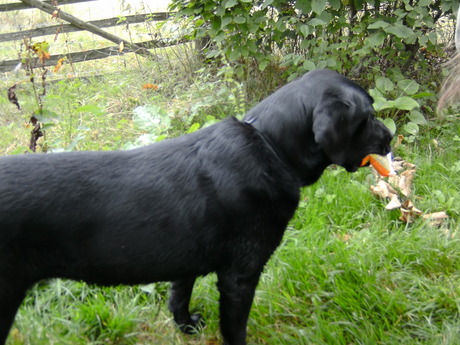
| Black dog at the White Dog Inn |
 |
| Apple harvest |
The path continued roughly in the valley, but unfortunately I was not paying proper attention to the map reading and we took a wrong turn where the path forked, taking us about 1/2km out of our way. Admittedly, the path we took was much more obvious on the ground, but it was still rather annoying as we had a long way to walk today. Once back on track, we continued in the valley across a number of fields, close to and across a stream, for about 1 km to a lane.
 |
| A serious piece of farm machinery takes a rest - its work is done |
 |
| Heading for a bridge and narrow squeeze stile - difficult in a rucksack |
Our route went straight across, initially up the drive to Strawberry Hole, then bearing left past the cottage and up through a field. Taking the correct right fork this time, we headed east to meet the A28 at Northiam, near the church.
 |
| Path alongside boundary wall of Westwell House, approaching Northiam |
 |
| Village sign |
We turned right along the road and after about 150m, after the green, forked left along a slip road, and then left along a gravel drive which soon curved right round some cottages to a field gate. We were about to head downhill along the right field boundary, when I realised we were wrong again, and a closer look at the map revealed our correct route more east than southeast.
 |
| It would be hard to miss such a large waymarker as we leave Northiam |
 |
| Roly poly field |
Over the next ½ mile or so we crossed a number of harvested arable fields (some already ploughed and harrowed), crossed two streams, and passed through a couple of strips of woodland to reach a lane by Woodgate House. Here we had a nice chat with the house owner, who was doing a bit of garden clearance, accompanied by her golden retriever. She was very impressed with the distance we were intending to walk today.
 |
| Looking for a stile in the field boundary - the path had not been reinstated |
 |
| Woodpile near Woodgate House |
Once on the road, we turned left and then, at the first junction, forked right along Rectory Lane. In about 100m or so, immediately beyond the garden of a large white house, we turned left through a gate and then quickly right through a second gate. There were plenty of ‘Private’ signs here to keep us on the correct route.
 |
| This road sign has seen better days! |
 |
| "turn left immediately after large white house" |
We walked through a number of coarse pasture fields, and reached the B2088 at Beckley. Turning left, we walked up the pavement for about 150m, and then turned left over a stile to follow a rather overgrown footpath through an old abandoned orchard, rapidly reverting to ‘picturesque neglect’ (to quote the online SBP guide). The path was certainly not very clear on the ground, and didn’t look much used, despite finding a spanking new footbridge spanning the stream. From here we followed our noses (literally) to pass close to a water treatment works.
 |
| Leaving Beckley - the waymarker is nearly hidden by vegetation |
 |
| A very overgrown path! |
After the sewage works, we crossed a couple of grass fields (where a few geese were grazing) to reach the A268. Turning right, we walked along the pavement for about 50m, before turning left off the road roughly opposite a large cottage. It was then gently uphill across several grassy fields (sometimes with no path visible on the ground), and through a narrow strip of woodland, where Zuka found a wonderful prize – an unopened packet of Mini Cheddars. She was VERY proud of herself!
 |
| Checking the route shortly after leaving the A268 |
 |
| Zuka and her Mini Cheddars |
We now continued east on a level path adjacent to Dean Wood. The path was bordered on the other side by a large hedge. Zuka continued to carry her lunch and did her best to keep a jealous Poppy at bay! We emerged onto Hobbs Lane and turned right. Just before our exit stile on the left, we passed a man lying underneath his car in his drive, presumably tinkering with something. Zuka went up to investigate and quite startled the man, I think. I’m sure she was only going to check his pockets for snacks (although, if I remember correctly, she was still carrying her Cheddars at this point).
 |
| Zuka startled this man working on his car on Hobb's Lane |
The route then headed across a couple of fields and through a strip of wood, before passing between two ponds to reach a junction with the High Weald Landscape Trail. Although both paths end in Rye, they follow quite different routes to arrive there, and had we been on the HWLT, heading for Rye, we would actually have been walking on this bit of the path in the opposite direction!
 |
| Lily pond south of Evening Wood |
 |
| Unusual tree stump |
A couple more field paths followed, including one through a maize crop. Reaching a footbridge, we crossed a stream and turned right over a humped brick bridge, before turning left again after about 50m, to head straight across another field towards a farm building. We had to pass through a field with nice brown cows and a bull in it, but they took no notice of us.
 |
| Footbridge and humped brick bridge |
Still heading NE, the next field was recently ploughed, although it had already been harrowed, so it wasn’t too difficult to walk on. The online guide mentions the way being guided by wooden marker posts, but I can’t remember seeing them to be honest. I do remember we had lunch here, as it was about 2pm, and it was a bit uncomfortable sitting on the lumpy ground.
 |
| Lunch stop - Little blue tractor ploughing every field in sight! |
When we continued, it was a short distance across the rest of the plough, and through a small copse, to reach a lane where we turned left. The waymarker at the field boundary has been carved with the words “FOLLOW ROAD”. When I looked at my photo initially I had assumed that it was the name of the lane, but more probably it is just a walk instruction. Odd, though, because it was pretty obvious you had to cross the stile onto the road?
 |
| Still route sharing with the HWLT |
 |
| Crossing the River Rother on the road bridge |
About 300m along the lane we reached Blackwall Bridge, and crossed the River Rother, whose source is near Rotherfield in East Sussex, just a couple of miles from my home. The River is navigable from Bodiam to Rye, the start and finish points today's walk. An annual charity raft race is run, and we had missed this by just one week, as it took place on the last Sunday in August. It would have made our experience of walking along this section quite different. Without the rafts and spectators, our six mile hike along the Rother to Rye had a very peaceful feel. There were virtually no boats on the river and of the few we saw, only one was actually moving.
 |
| This fisherman looks like he's nodded off! |
 |
| Peaceful river scene |
The map shows a diversion from the riverbank after about 2km, but on the ground this did not happen and the path continued beside the water for the full 4km or so to the road bridge carrying the B2082, Wittersham Road.
 |
| Reaching the road bridge carrying the B2082 |
Having crossed the road, we walked for a short while up a track just out of sight of the water, which was over a flood bank. Here we passed an attractive house and then, more unusually, a collection of old 2CV cars. A little further on was a derelict barn that had definitely seen better days, although amazingly, the roof was still on.
 |
| Collection of 2CVs |
 |
| Derelict barn |
All along this section there were some fine views north to a ridge of hills. Looking NE you could see the end of the ridge where the Saxon Shore way heads south to join our route into Rye a little further on.
 |
| View NE - the Saxon Shore Way comes off this ridge before also heading for Rye |
At the next bridge, we detoured round a house and crossed the Military Road and also the Royal Military Canal. The Canal (which I appear not to have photographed) was built during the Napoleonic Wars to serve as both a means of transport and a barrier in the event of a French invasion. It is now important as a means of controlling the water level in the marshes.
 |
| Most of the boats we saw today were moored, like these |
 |
| Route sharing with Saxon Shore Way & Royal Military Canal Path |
The route of the river had now swung south or even south west, so we were heading into the late afternoon sun. After passing a number of caravans on the river bank and Boonshill Bridge, we soon reached another lock, after which the river becomes tidal. South of the lock the water almost disappeared and we were left looking at mudflats, presumably because the tide was out.
 |
| Poppy & Zukia pose by Iden Lock |
 |
| Beyond Iden Lock the river is tidal |
After crossing another side channel, this time the Union Channel (which I DID get a photo of), we continued along the bank for another 1km or so, to reach the railway bridge. We had to clamber down off the flood bank to follow the path, and duck under the bridge, which only had clearance of about 5ft 6ins - too low for either of us.
 |
| Looking east along Union Channel |
 |
| Approaching the railway bridge |
At the next road bridge we turned right along the A259 into Rye, passing a large number of fishing boats moored in the Rye Harbour channel and the River Brede, which empties into the Rother.
 |
| Looking back, having reached the A259 at Rye |
 |
| Fishing boats moored in Rye Harbour Channel |
We didn’t explore a great deal of Rye, but it is a fascinating place with mediaeval buildings, city walls and narrow cobbled streets Walking up Landgate (the street) we reached the actual Landgate itself. In the 14th century, Rye was a fortified town, and at the time there were four gates built to allow access inside the walls - the Landgate, Strandgate, Baddings Gate and the Postern Gate. Of the four gates, only the Landgate remains today.
 |
| Rye |
 |
| Landgate |
From here we made our way to the station where my car was parked, and the successful completion of the East Sussex section of the Sussex Border Path. We have now walked the 32 mile Mid Sussex Link from East Grinstead to Mile Oak, near Portslade, and the 55 mile East Sussex Section from East Grinstead to Rye. Now we ‘just’ need to walk the 70 miles of the Western section from East Grinstead to Thorney Island!
 |
| Rye Station |